Understanding Laser Scanners
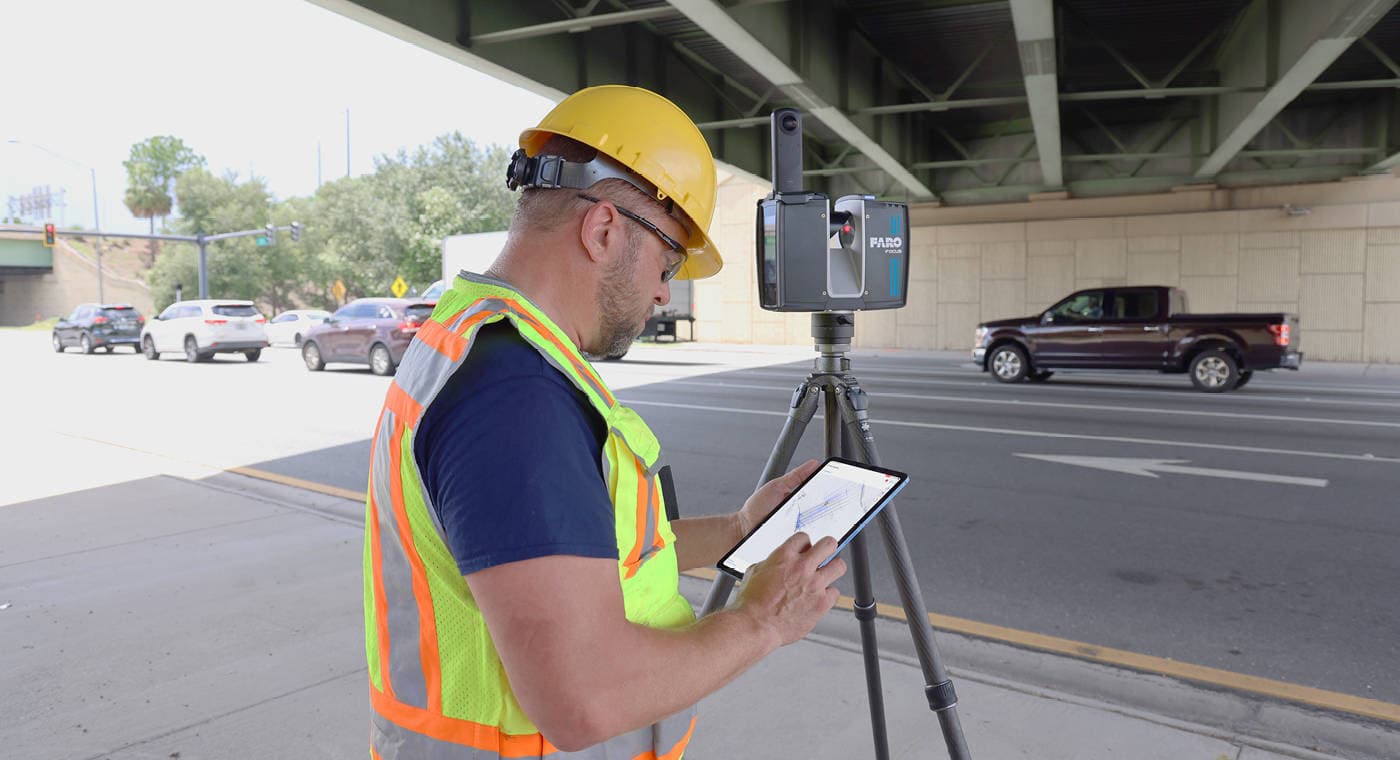
When it comes to documenting complex or expansive environments—whether it's a construction site, a historical monument, or an accident scene—Laser Scanners offer a fast, precise, and cost-effective solution.
Traditionally, we've relied on tools like tape measures, plumb bobs, piano wires, laser range finders, and total stations to gather measurements. While these are familiar and trusted methods, they're often time-consuming and prone to human error. Capturing a large site could take days, even weeks, and the results may still be inconsistent depending on who is doing the measuring. And if critical data is missed, it can create a chain reaction of inaccuracies down the line.
That's where Laser Scanners change the game.
Instead of taking one point at a time, these non-contact devices use infrared laser technology to collect millions of precise data points in just a few minutes. The result is a highly detailed 3D image, often referred to as a point cloud, which digitally recreates the scanned space.
So how does this magic happen?
Laser Scanners work by emitting a narrow beam of infrared light onto a rotating mirror. This setup allows the scanner to "paint" the environment with laser light. As the scanner head rotates, it sweeps the laser across everything in its surroundings. When that beam hits an object, it bounces back to the scanner, which calculates the distance and captures the geometry of the object or surface. It doesn't just capture straight-line distances—it also records horizontal and vertical angles to offer a full spatial profile.
A Laser Scanner typically captures data through two kinds of systems:
- Time-of-Flight (ToF): Emits a single laser pulse and measures how long it takes to reflect back. Since the speed of light is constant, the scanner can calculate how far away the object is based on that time delay.
- Phase-Shift: Sends out a modulated laser beam using specific waveforms. When the light reflects back, the system measures the phase difference between the sent and received signals. Phase-shift scanners are especially valued for their speed, high resolution, and accuracy.
Applications and Industries
Thanks to their precision, portability, and ease of use, Laser Scanners have become essential tools across a wide range of industries and use cases. Here's how different sectors are using laser scanning to save time, improve accuracy, and protect critical information:
- Law Enforcement & Fire Safety: quickly create a detailed 3D replica of a scene—preserving it digitally before weather, traffic, or other factors disturb the evidence.
- Public Safety & Security: real-time spatial information helps teams respond to potential threats more effectively.
- Insurance & Claims: capture the exact state of a property, vehicle, or asset at a specific point in time.
- Oil & Gas Industry: indispensable for engineering, maintenance, and planning intricate piping systems.
- Heritage and Historic Preservation: a non-invasive way to document complex shapes and surfaces in incredible detail.
- Surveying and Mapping: fast, accurate volume measurements, topographical mapping, and as-built documentation.
- Construction Industry: real-time verification during every stage of a project—reducing rework and waste.
- Architecture & Civil Engineering: capture existing building conditions with precision for renovation and structural analysis.
- Facilities Management & Asset Tracking: maintain detailed records of equipment, layout, and space utilization.
In each application scenario, a Laser Scanner produces accurate results in less time and with fewer errors than traditional methods. And in some cases, such as documenting crime and crash scenes, the time saved offers downstream benefits such as being able to open roadways to the public earlier.